The authoritative bight site.

Bight

From Old English. Not related to bite.

The word has two working lives. On a rope it names the middle, the part that is not an end. On a coast it names a long, open curve of shore. What follows walks through both.

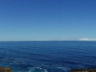
A very wide panorama: deep blue sea under a pale sky, with a low dark cliff line running along the right and a boardwalk at the lower right edge.
1 The Great Australian Bight from Head of the Bight. A panorama of the Great Australian Bight, taken from Head of the Bight in South Australia. Holly Randell · CC BY-SA 4.0 · credit
  1. I The word
  2. II The middle of the line
  3. III How much curve
  4. IV In the bight
  5. V Rope at work
  6. VI The coast
  7. VII Great Australian Bight
  8. VIII New York Bight
  9. IX German Bight
  10. X Benin and Biafra
  11. XI Southern California Bight
  12. XII Canterbury Bight
  13. XIII Two meanings
  14. Credits

I

The word

Bight comes from Old English byht: a bend, an angle, a corner, a bay.

Its cousins are German Bucht and Danish bugt, both meaning bay. Despite the sound, it has nothing to do with bite, which comes from a different Old English word, bītan.

A bend can happen in a rope or in a shoreline, and English kept the word for both.
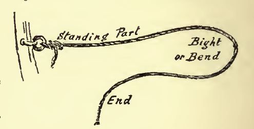
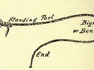
A pen drawing of a rope tied to a post at the left. Hand lettering labels the taut section 'Standing Part', the curve 'Bight or Bend', and the loose tail 'End'.
2 Names of the parts of a rope, 1898. From Alexander Ansted's A Dictionary of Sea Terms (1898): the standing part, the bight or bend, and the end. Alexander Ansted (1814–1880) · CC BY-SA 4.0 · credit
bight (rope)
A curved section or slack part between the two ends of a rope, string, or yarn.
bight (coast)
A concave bend in a coastline, or a very open bay formed by one: broad, open, shallow, only slightly recessed.

II

The middle of the line
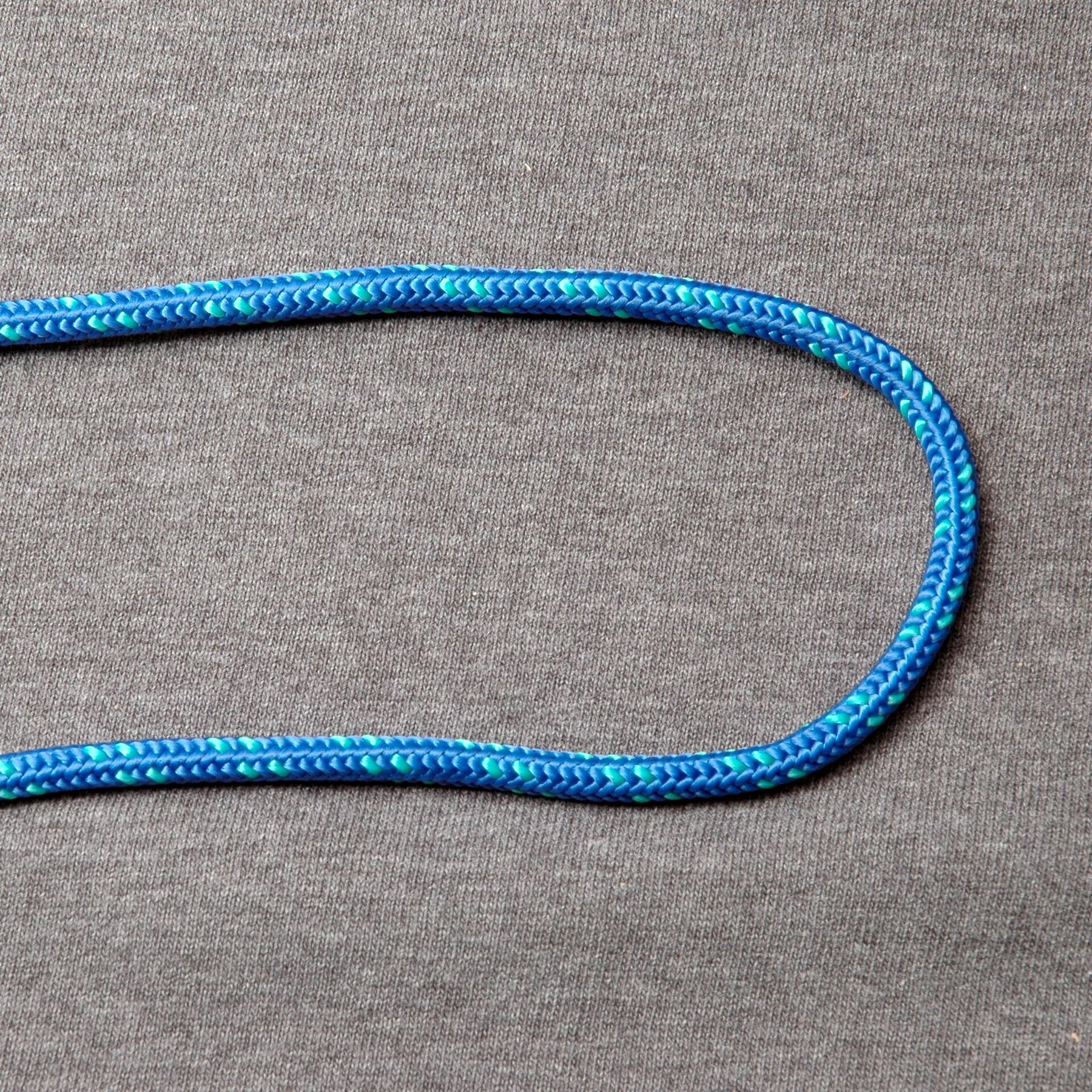
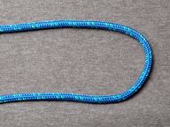
A blue braided rope lying on grey fabric, bent into a long U-shaped curve with both ends leaving the picture on the left.
3 A bight of rope. A blue braided line doubled back on itself. The curve is the bight; both ends run out of the frame. David J. Fred · CC BY-SA 2.5 · credit

A rope has two ends. Everything between them can be a bight.

Take any length of line and fold it back on itself without bringing the ends near: the curve you are holding is the bight. It is neither the end nor the standing part, as the 1898 sea dictionary labels them, but the curve between.

III

How much curve

The references do not fully agree on where a bight stops and a loop begins.

The Ashley Book of Knots (1944) keeps them apart. A curve no narrower than a semicircle is a bight. An open loop is narrower than that, with its ends still separated.

The Illustrated Encyclopedia of Knots (2002) is broader: any section of line bent into a U-shape is a bight.

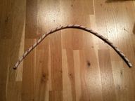
The cord below would satisfy both.
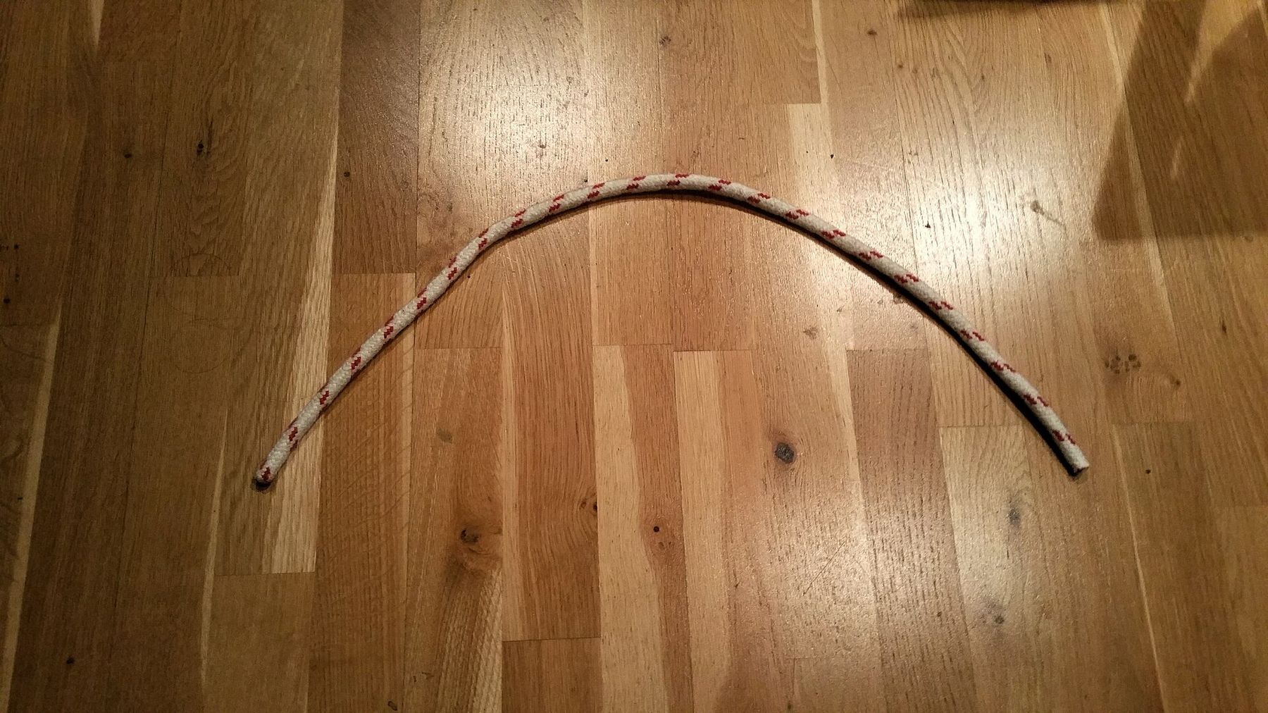
A thin white cord with a red fleck laid across light oak floorboards in a wide, shallow arch.
4 An open bight. A cord laid in a shallow arc on a wooden floor. Its photographer labelled it an offene Bucht, an open bight. German uses Bucht for both the rope's bight and a bay. Der Barbar · CC BY-SA 4.0 · credit

IV

In the bight

A knot tied in the bight is made from the middle of the rope, without reaching for either end.

That matters when the ends cannot be reached, as when forming a fixed loop in the middle of a long climbing rope.

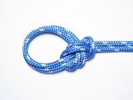
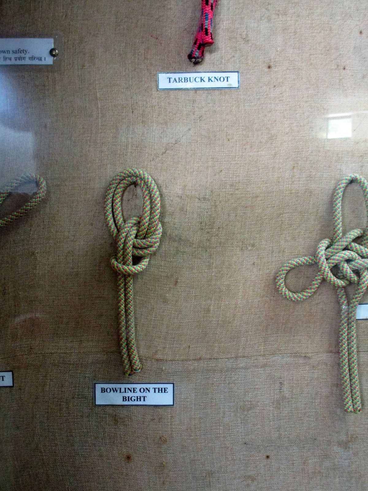
Some knots have a version made this way. The bowline has the bowline on a bight, which makes a pair of fixed-size loops in the middle of a rope and is reasonably easy to untie after it has taken a load.

Bights also make knots easier to release. The bow on a shoelace is a reef knot finished with two bights instead of the ends, a slipped form that is easier to untie.

These plates show what these knots are, not how to tie them. If a knot will hold a person or a boat, learn it from a qualified instructor.
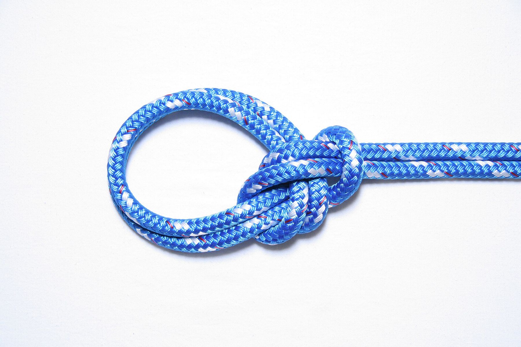
A finished knot in blue braided rope on a white background: two loops lie together on the left, gathered by a knot where the doubled rope continues to the right.
5 Bowline on a bight. A finished bowline on a bight in blue line. The knot puts a pair of fixed-size loops in the middle of a rope. USCG PTC Developer · CC BY-SA 4.0 · credit
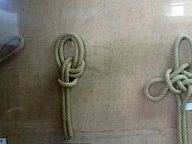
Tan ropes hanging against a burlap-covered board, each tied in a different knot, with small printed labels beneath them.
6 A knot display. Knots mounted on a display board, with a label reading “Bowline on the Bight”. Anup Sadi · CC BY-SA 4.0 · credit
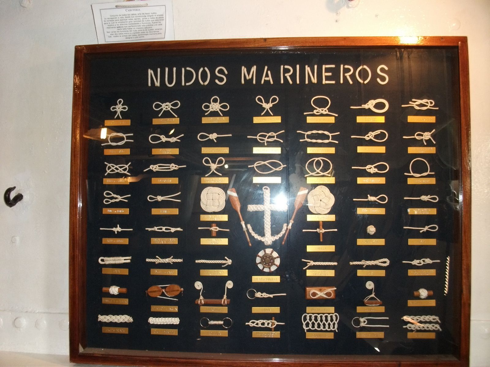
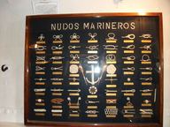
A glass-fronted wooden case titled 'Nudos Marineros' holding rows of white knots on a dark blue ground, each with a small brass label, around a central anchor.
7 Nudos marineros. A board of sailors' knots aboard the museum ship Presidente Sarmiento, Puerto Madero, Buenos Aires. Hermann Luyken · CC0 · credit

V

Rope at work

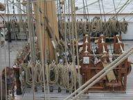
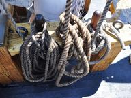
On a working deck, line is coiled, hung and made fast. Nearly all of every coil is the part between the ends.
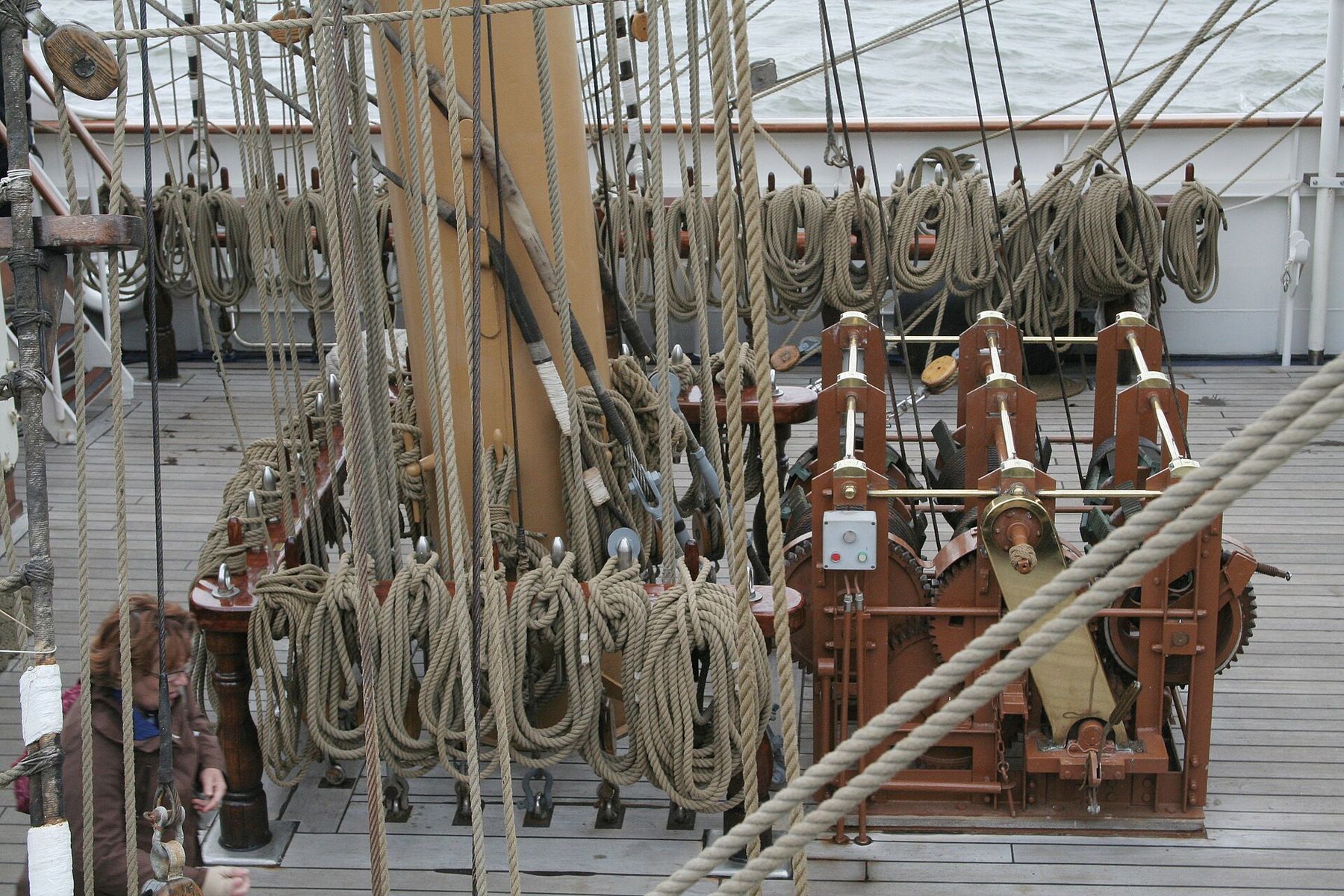
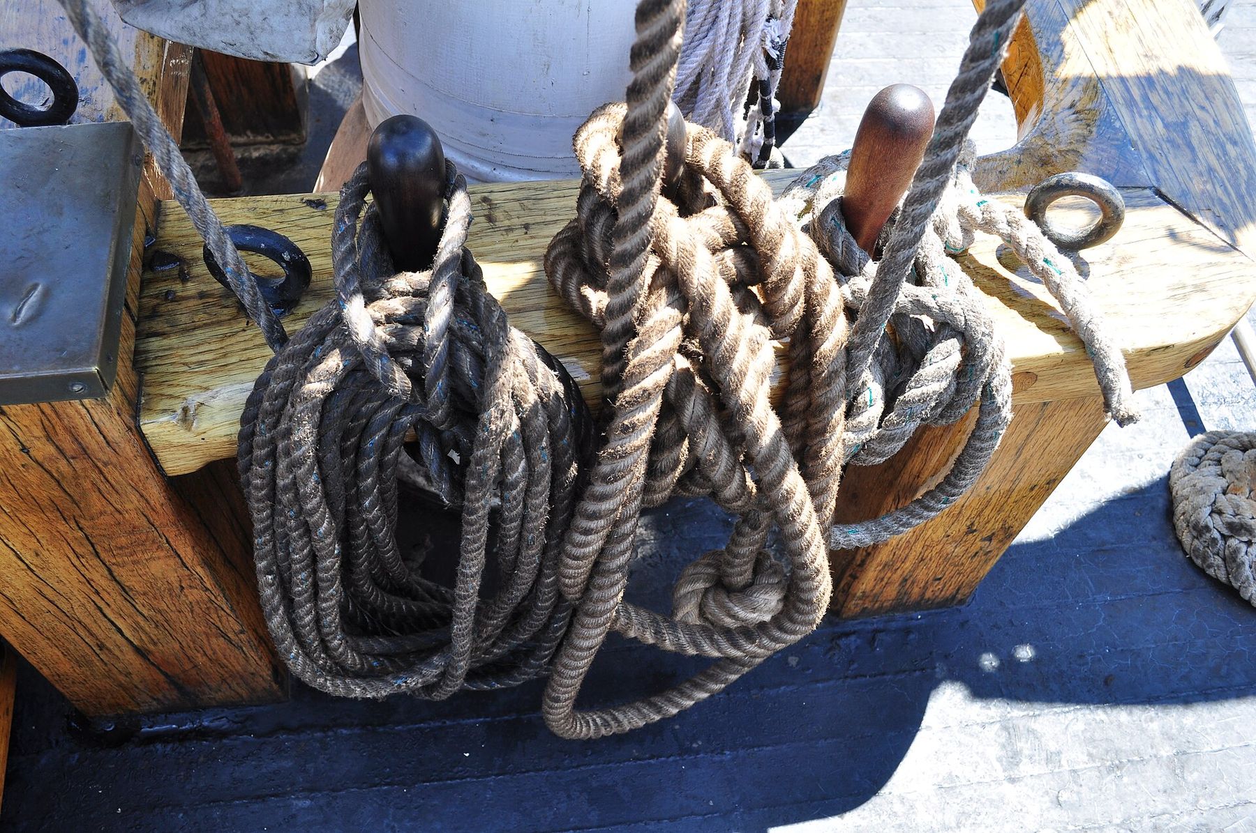
The deck of a tall ship crowded with vertical lines of rigging; dozens of rope coils hang in rows from pin rails around a red-painted winch.
8 Belaying pin rails. Belaying pin rails on a sailing ship at the Armada de Rouen, 2008. Alain-Marchal · Public domain · credit
Coils of dark rope hanging from wooden belaying pins at the foot of a mast, with dark iron fittings and sunlit deck around them.
9 Tie-offs on the Adventuress. Rigging tie-offs at the base of a mast on the Adventuress, Shilshole Bay Marina, Seattle, 2016. Joe Mabel · CC BY 3.0 · credit
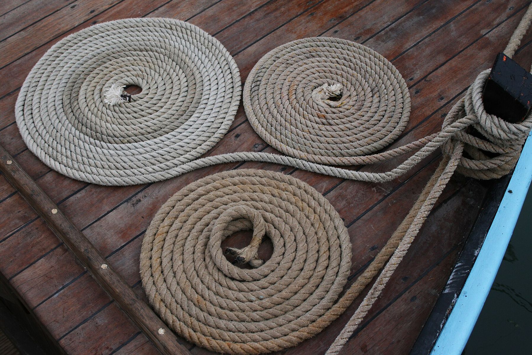
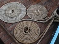
Three flat spirals of tan rope on a varnished wooden deck, with another line wound around a post at the edge of the boat.
10 Coiled sheets. Coiled sheets on a wooden deck. Remi Jouan · CC BY-SA 3.0 · credit
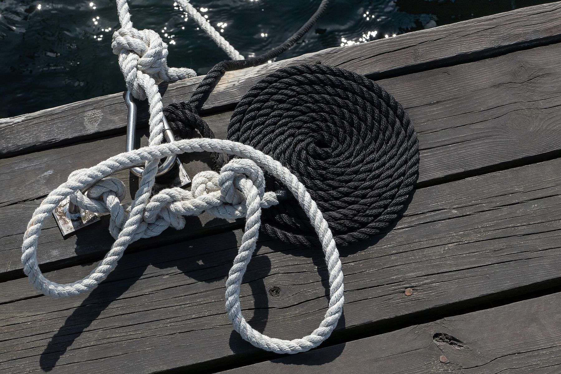
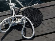
On grey jetty planks, a black rope lies in a tight flat spiral beside a white rope tied around a cleat, its slack falling in open loops.
11 Mooring lines, Govik. A black coiled mooring rope and a white one on a jetty in Govik, Lysekil Municipality, Sweden. W.carter · CC0 · credit
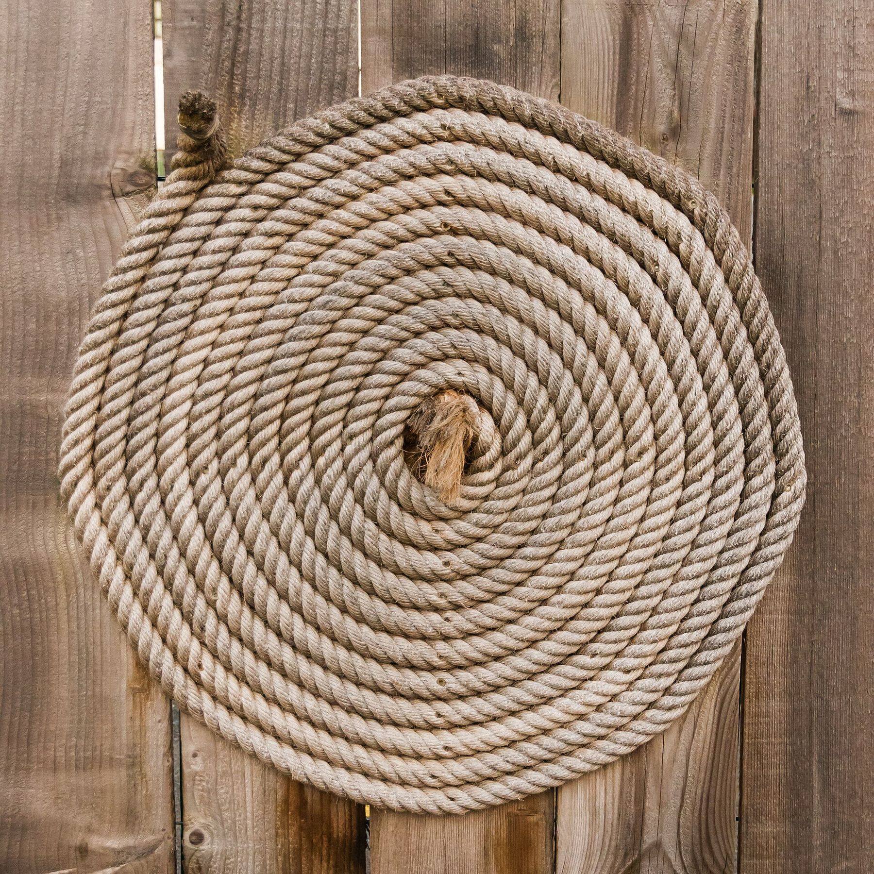
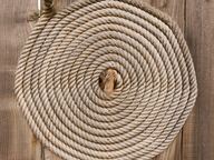
A flat spiral coil of thick tan hemp rope against weathered wooden planks.
12 Hemp rope, Rochefort. A coil of hemp rope in the dockyard of the Hermione, Rochefort-sur-Mer, France. Jebulon · CC0 · credit

VI

The coast

On a map, a bight is a coastline that bends inward without closing.

Bights can be as small as a bend in a river or as large as a sound. They tend to be broad, open and shallow, and only slightly recessed.

Sailors had a working test. Explorers traditionally called a bay a bight if a square-rigged ship could sail out of it on a single tack, whatever the direction of the wind.

The law of the sea has a geometric one. Under the United Nations Convention on the Law of the Sea, an indentation whose area is at least that of a semicircle drawn on its mouth can be regarded as a bay, not merely a bight.

What follows shows only places that reference sources call bights.

VII

Great Australian Bight
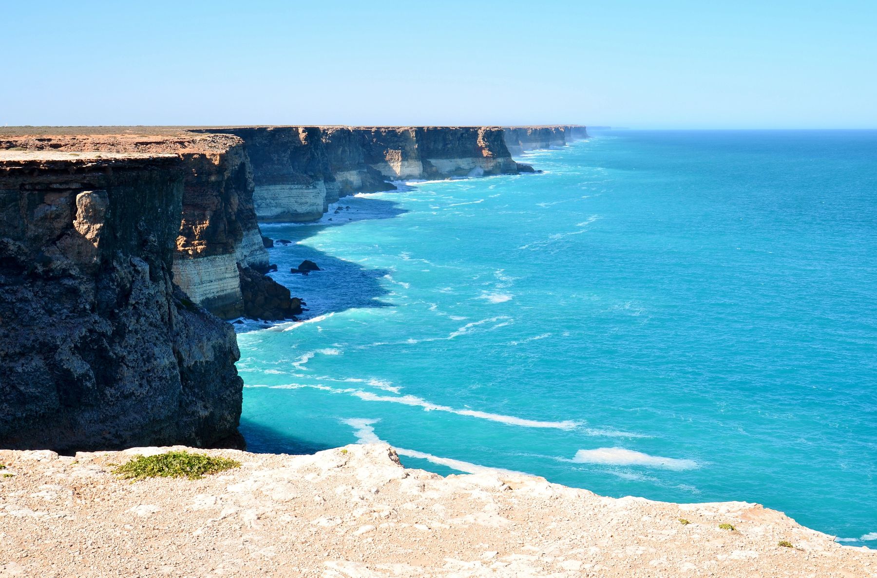
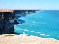
Sheer pale limestone cliffs drop straight into turquoise sea, receding in a long straight line to the horizon under a clear sky.
13 Bunda Cliffs. The Bunda Cliffs from a lookout off the Eyre Highway near Nullarbor, South Australia. Bahnfrend · CC BY-SA 4.0 · credit

A large oceanic bight off the central and western southern coast of mainland Australia.

Its coastline is cliff faces and rocky capes. Among them are the Bunda Cliffs, also called the Nullarbor Cliffs, a coastal scarp running from the western coast of South Australia to the south-eastern corner of Western Australia.

European explorers encountered the bight in 1627. The English navigator Matthew Flinders charted it accurately in 1802.

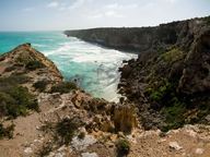
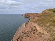
At its most northern point is Head of the Bight, in South Australia.
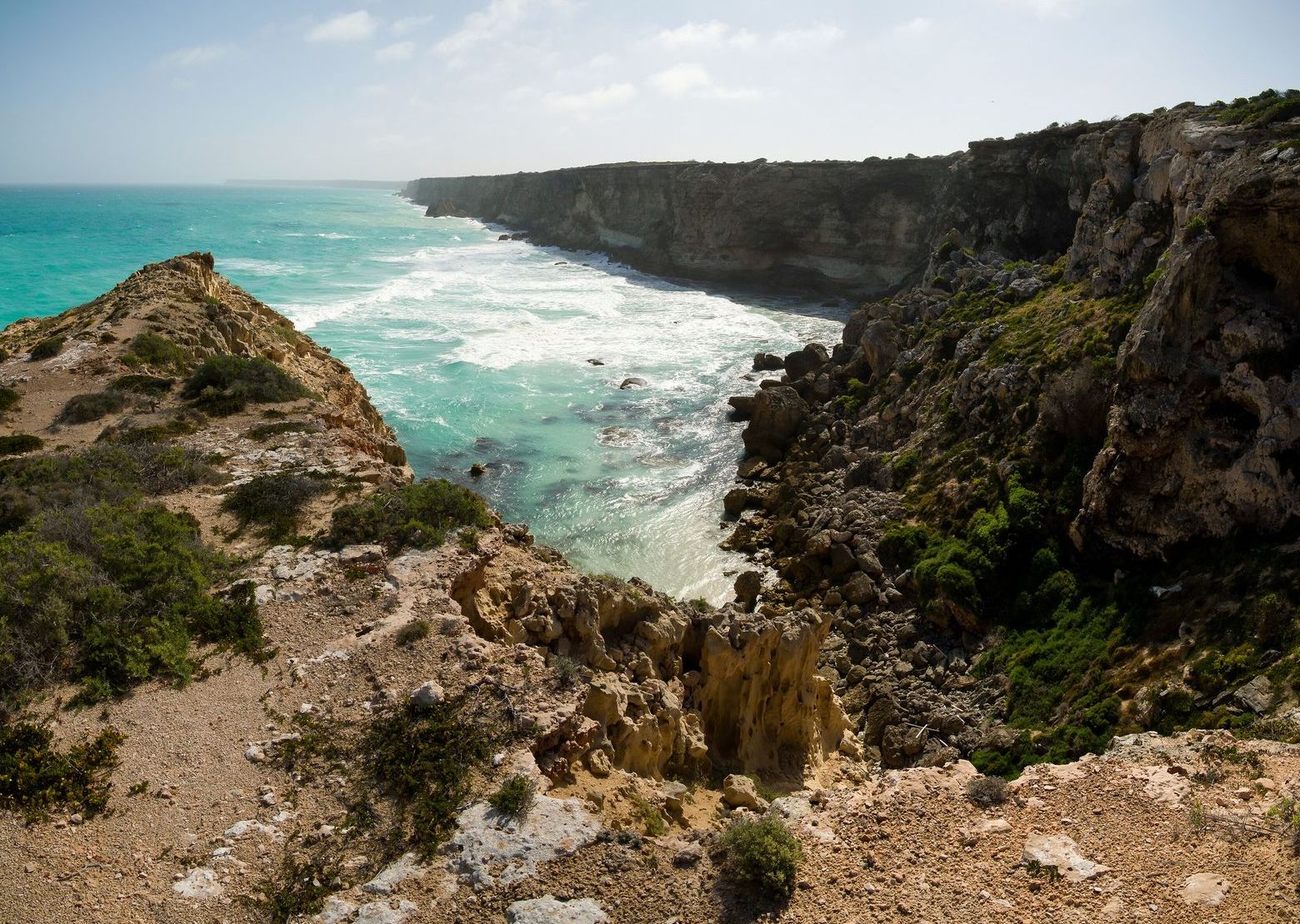
From a scrubby clifftop, a rocky cove opens to turquoise water and white surf, with a long line of cliffs stretching away to the left.
14 Head of the Bight. Head of the Bight, off the Eyre Highway in South Australia, at the most northern extent of the Great Australian Bight. Ben Cordia · CC BY-SA 4.0 · credit
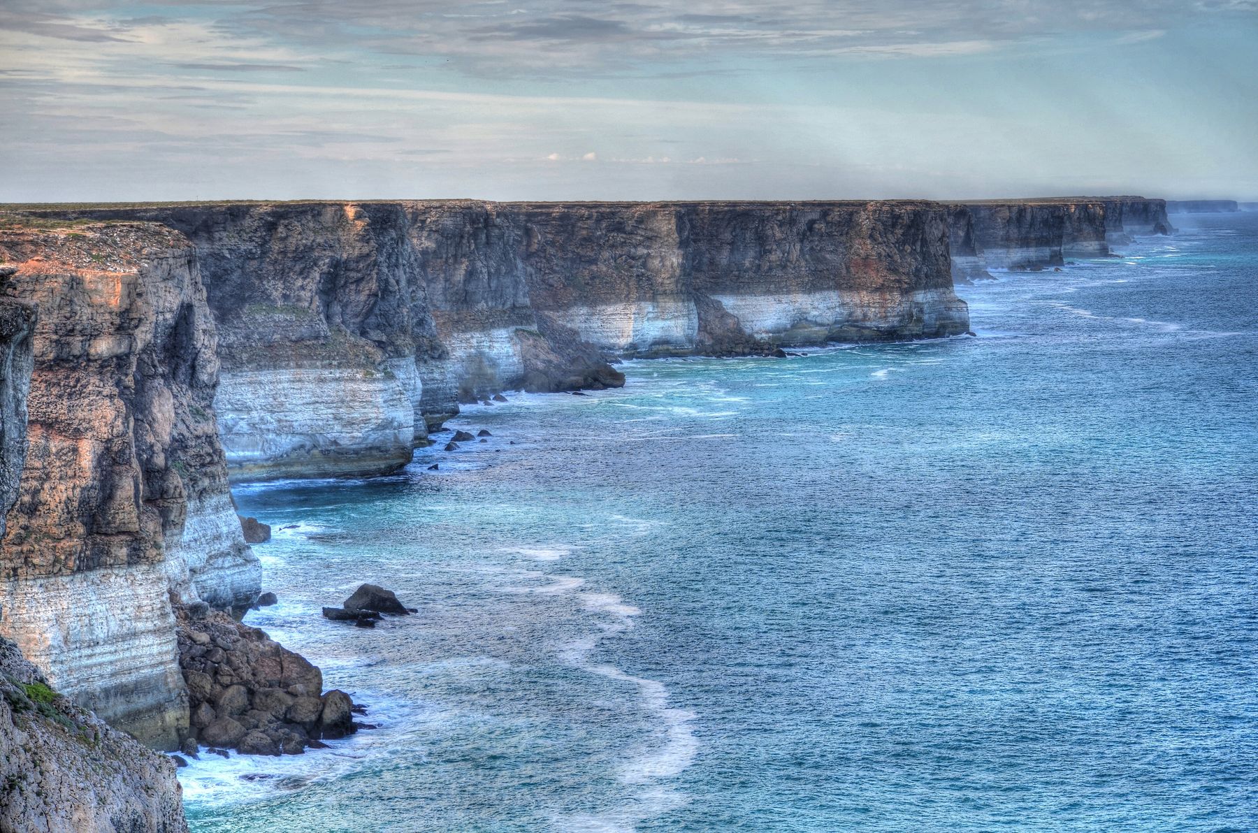
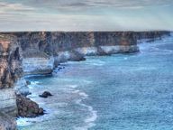
Banded cream and brown cliffs run in a wall along the coast while white surf breaks at their feet and on scattered rocks.
15 The cliff line. Cliffs on the Great Australian Bight, photographed in 2014. Chris Fithall · CC BY 2.0 · credit
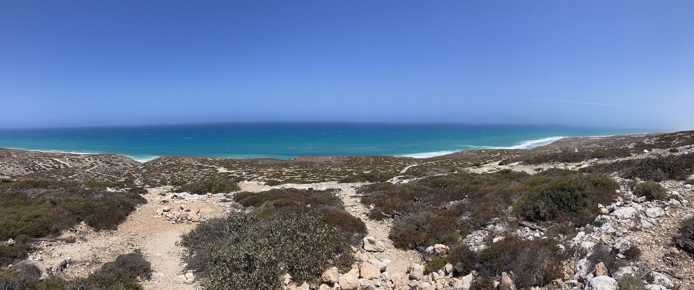
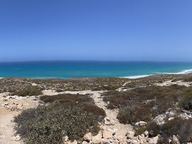
A wide view over low grey-green scrub and a sandy track to a long, flat blue sea line under an open sky.
16 Scenic lookout no. 3. The Great Australian Bight from scenic lookout no. 3 on the Eyre Highway. Chuq · CC BY-SA 4.0 · credit
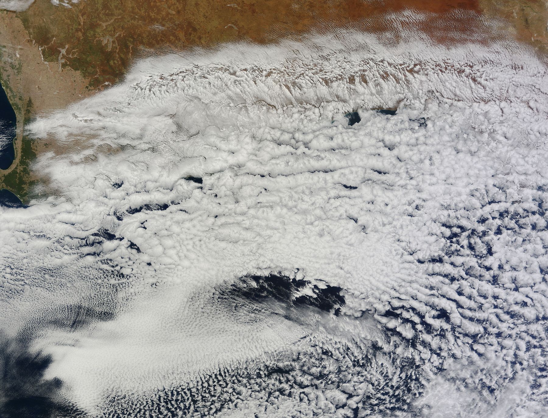
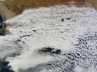
A satellite image: a vast field of white cloud cells covers dark ocean, and the reddish-brown southern coast of Australia curves along the top edge.
17 The Bight from orbit. A satellite view of a cloud bank over the Great Australian Bight in early autumn, 2012. The coast of southern Australia runs across the top. NASA Goddard Space Flight Center · Public domain · credit

VIII

New York Bight

A roughly triangular indentation in the Atlantic coast of the United States.

It reaches north-east from Cape May Inlet in New Jersey to Montauk Point at the eastern tip of Long Island. The port of New York and New Jersey opens into it.
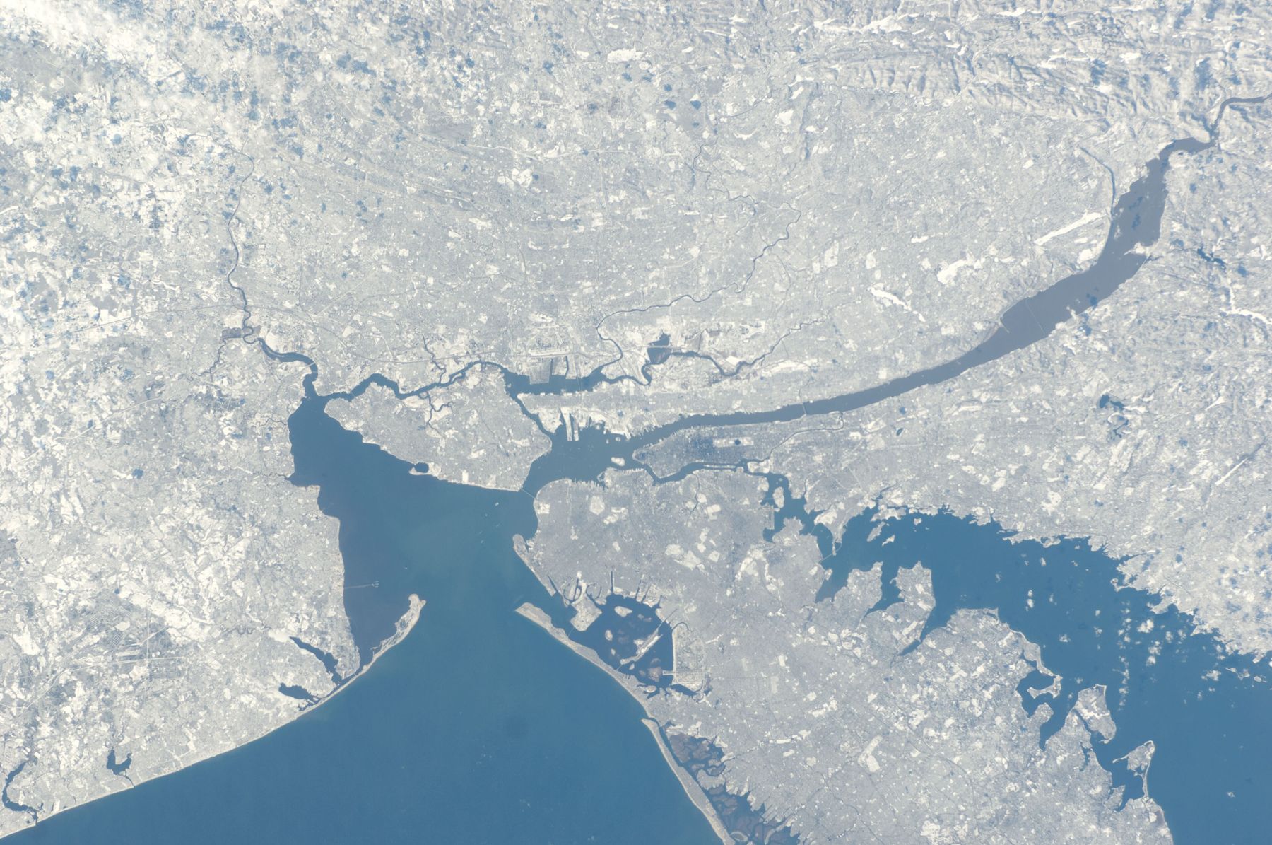
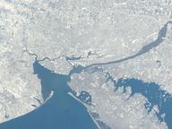
A snowy grey-white landscape seen from orbit with blue harbour water reaching inland; a long narrow beach runs along the lower edge where the open sea begins.
18 The harbour mouth from orbit. The Port of New York and New Jersey from the International Space Station, January 2011. The sea at the entrance, between Sandy Hook and Rockaway, is the New York Bight. NASA · Public domain · credit
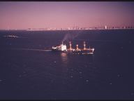
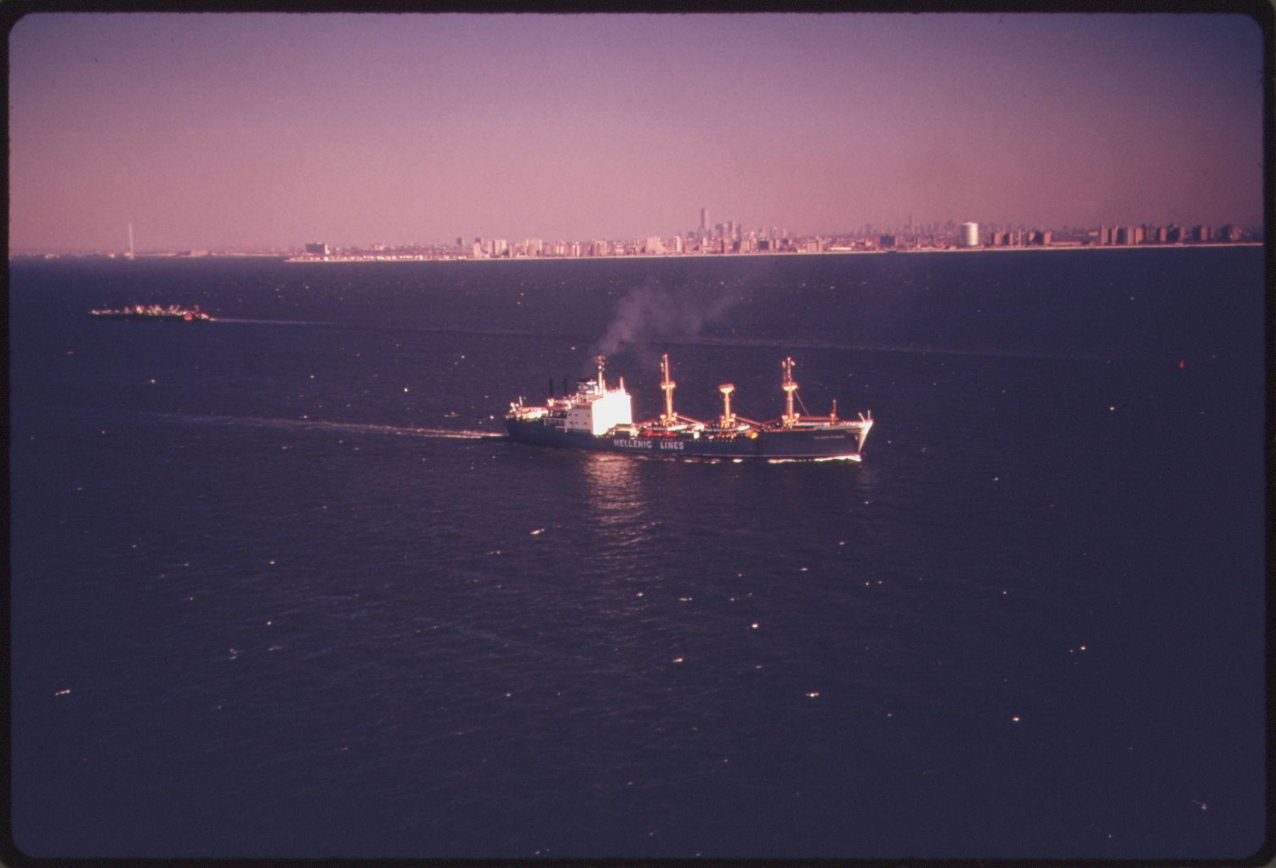
A cargo ship trailing smoke crosses dark open water, with a thin line of city towers on the far horizon.
19 Shipping traffic, 1974. Shipping traffic in the New York Bight, April 1974. The city skyline sits low on the horizon. Hope Alexander · Public domain · credit
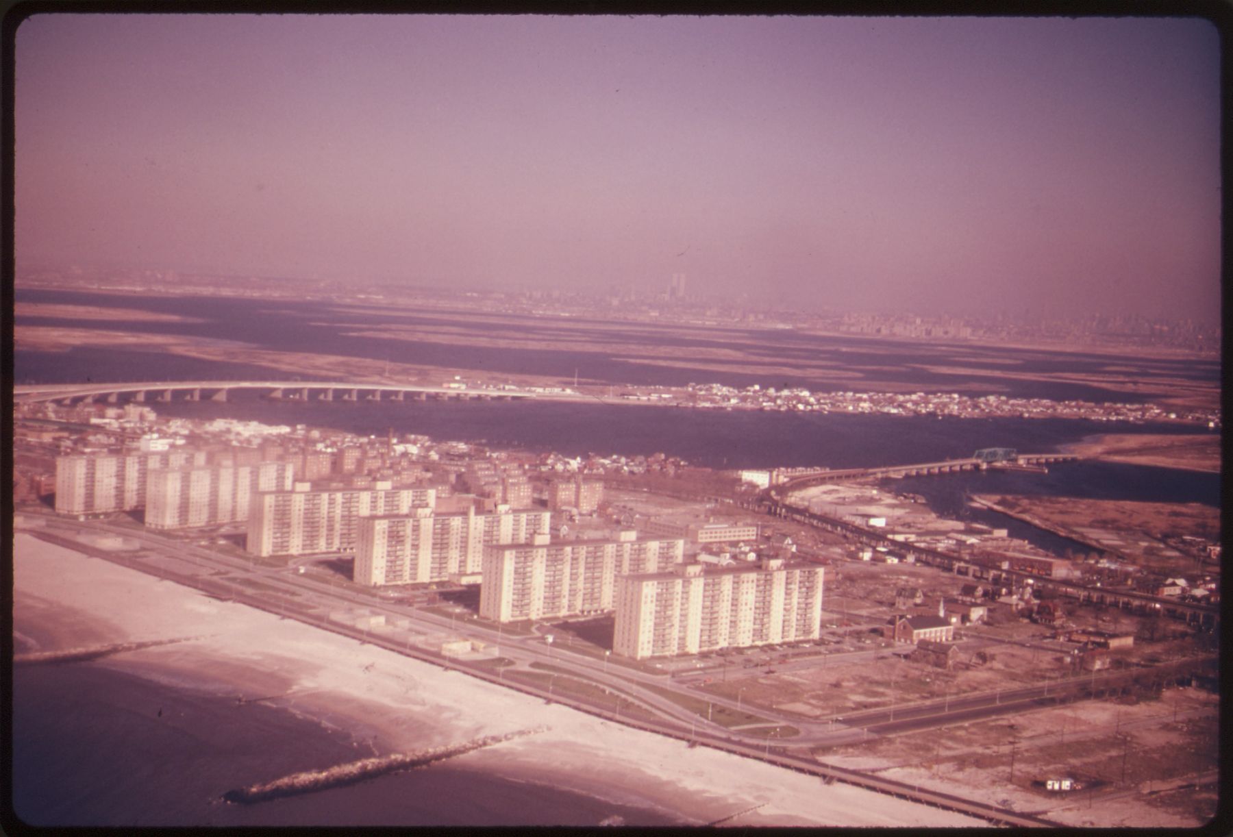
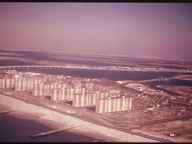
An aerial colour photograph with a faded pink cast: a sandy beach and rows of tall apartment blocks along the shore, with a bridge and water behind.
20 Rockaway Beach, 1974. Rockaway Beach, Long Island, in June 1974. The original archive title calls it part of the coast bordering the bight. Hope Alexander · Public domain · credit

IX

German Bight

The south-eastern bight of the North Sea. In German, Deutsche Bucht.

The Netherlands and Germany bound it to the south, Denmark and Germany to the east, and the Dogger Bank limits it to the north and west. The Frisian and Danish islands lie within it. Its southern part is also called the Heligoland Bight.
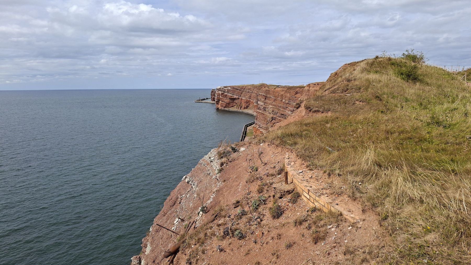
A grassy clifftop of red rock falls steeply to calm grey sea, the cliff edge curving away toward a distant headland.
21 Heligoland. The sandstone cliffs of Heligoland, an island in the Heligoland Bight, the southern part of the German Bight. Bybbisch94 · CC BY-SA 4.0 · credit
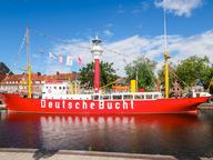
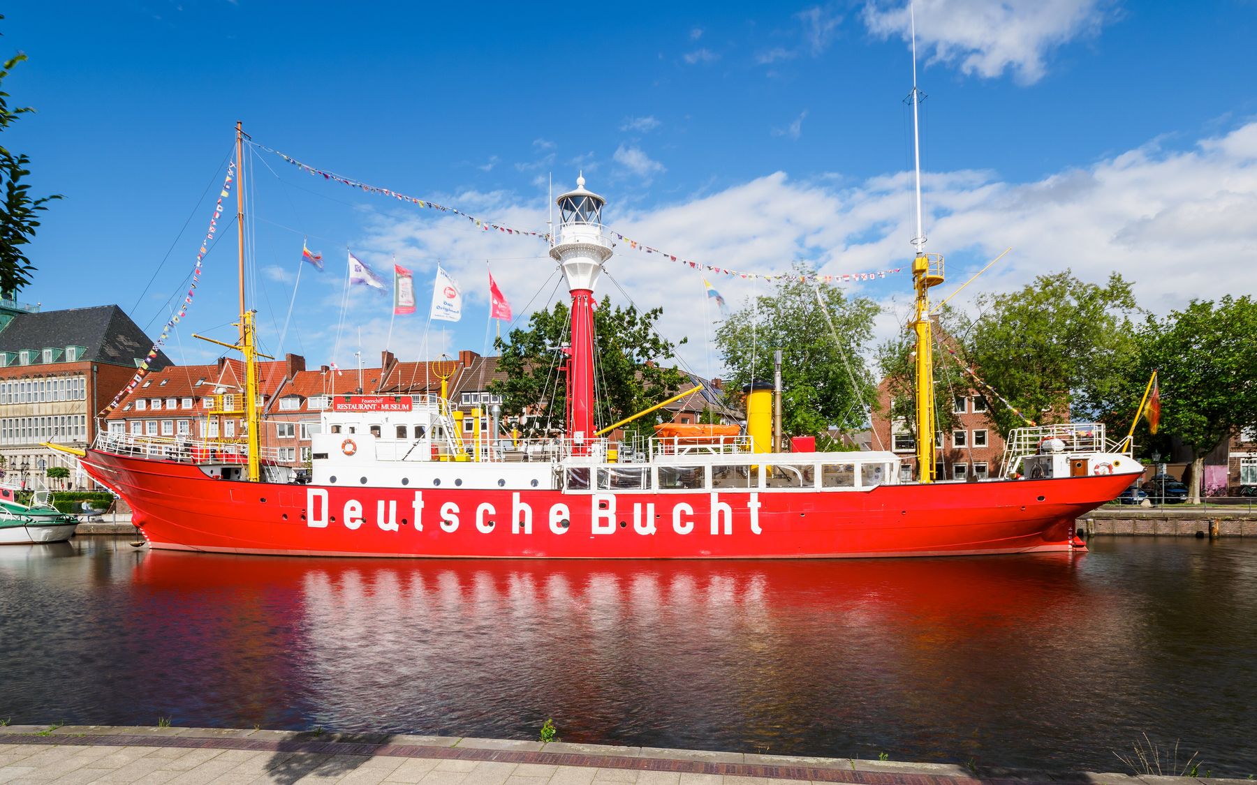
A red lightship with a white superstructure, a red lantern tower and the words 'Deutsche Bucht' on its hull, moored in still water in front of brick buildings.
22 Lightvessel Deutsche Bucht. The lightvessel Amrumbank, built in 1915 and once in service in the German Bight, now moored in Emden. Its hull carries the bight's German name. JoachimKohler-HB · CC BY-SA 4.0 · credit

X

The Bights of Benin and Biafra

Two bights in the Gulf of Guinea, on the west coast of Africa.

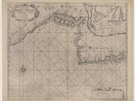
The Bight of Benin runs east for about 640 kilometres from Cape St. Paul to the Nun outlet of the Niger River. It was named for the Kingdom of Benin, in what is now Nigeria; the Republic of Benin later took its name from the bight. Its shore was known as the Slave Coast, for its part in the Atlantic slave trade.

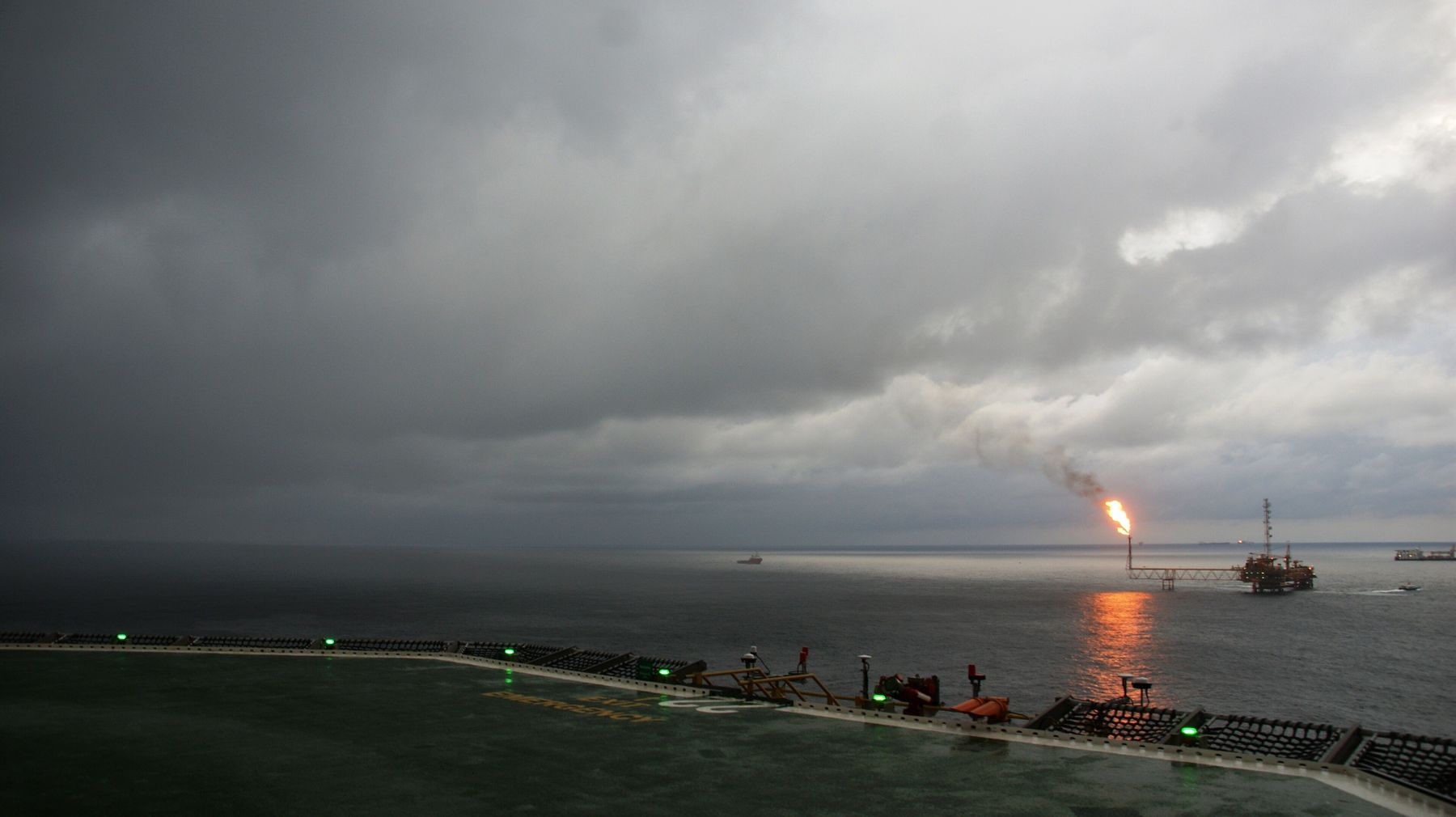
The Bight of Biafra, also called the Bight of Bonny, is the easternmost part of the gulf, where the African coastline turns from running north–south to running east–west.
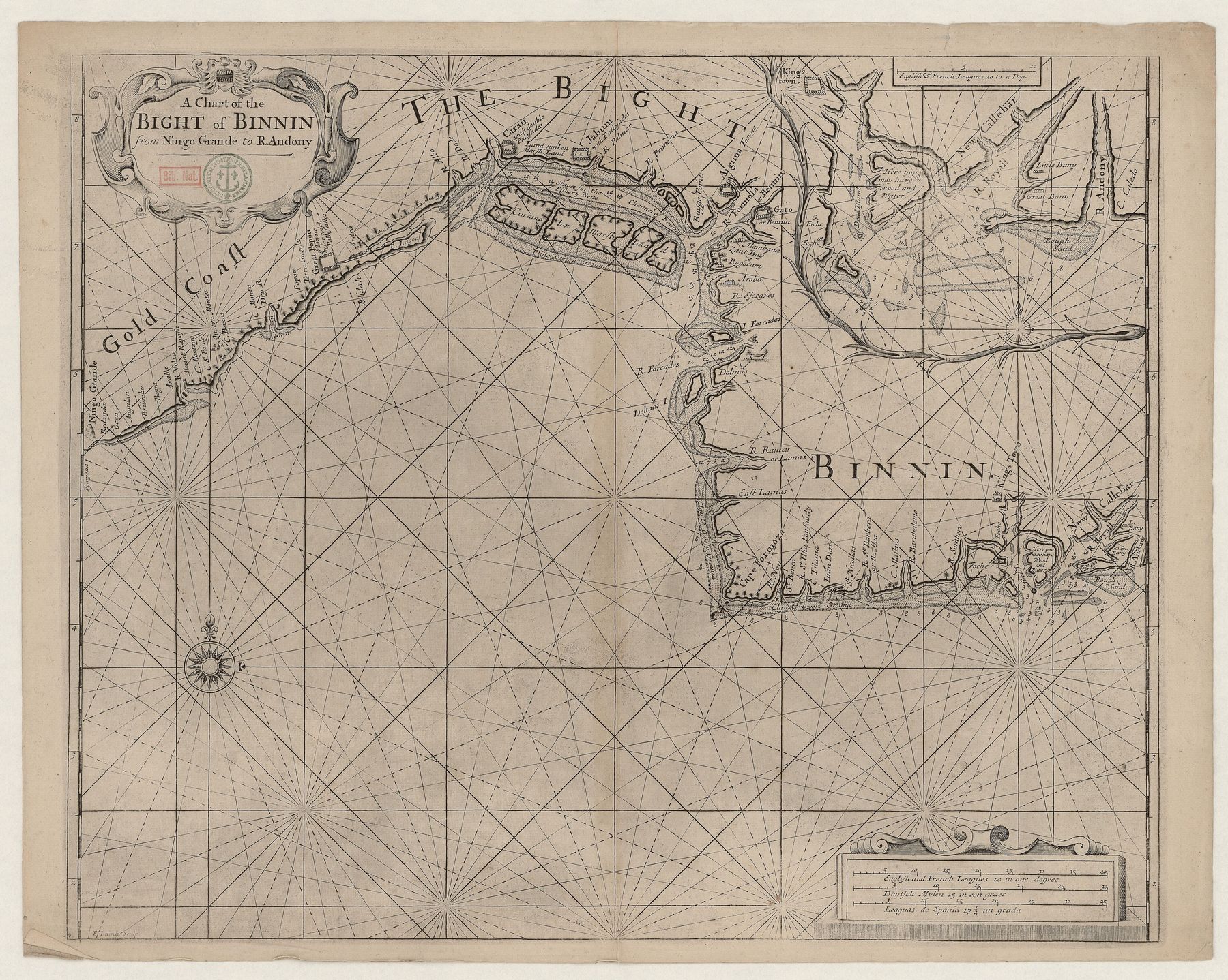
An antique sea chart on yellowed paper: a coastline runs across the upper half with dense place names, and rhumb lines radiate across the empty sea below.
23 A chart of the Bight of Binnin. An eighteenth-century English chart of the Bight of Benin, spelled “Binnin”. Unknown cartographer · Public domain · credit
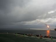
Heavy grey storm clouds over a dark, flat sea; on the horizon an offshore platform burns a bright gas flare.
24 Storm over the Bight of Bonny. A thunderstorm approaching an oil platform in the Bight of Bonny, another name for the Bight of Biafra. Swandau · CC BY-SA 3.0 · credit

XI

Southern California Bight

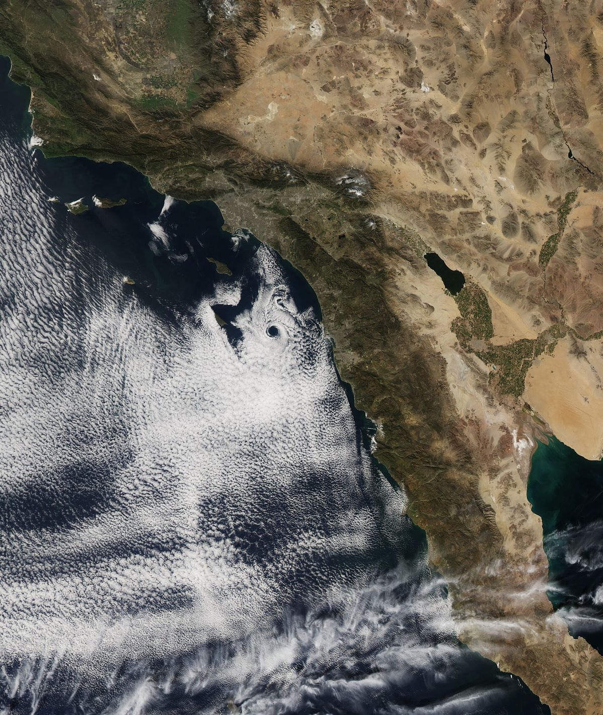
A 692-kilometre curve of coast and the stretch of Pacific it encloses.

It runs from Point Conception in California to Punta Colonet in Baja California, Mexico, and takes in the Channel Islands of California and the Coronado Islands.
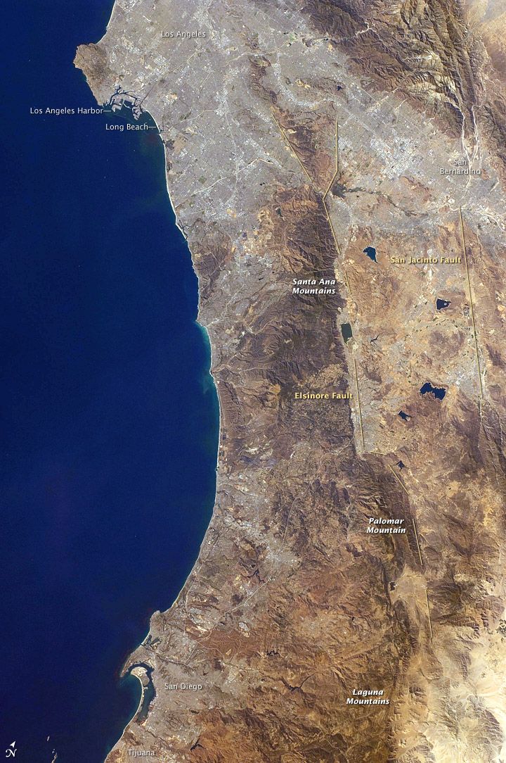
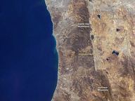
A view from orbit of a dry tan coast running top to bottom beside deep blue ocean, with small printed place labels on the land.
25 San Pedro Bay to San Diego Bay. An astronaut photograph of the Southern California coast from San Pedro Bay to San Diego Bay, 2008. NASA ISS Crew Earth Observations · Public domain · credit
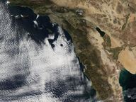
A satellite image of the Southern California and Baja California coast, brown land on the right and a swirl of white cloud over the blue ocean to the left.
26 An eddy off the coast. A satellite view of an atmospheric eddy off Southern California on 17 February 2013. Jesse Allen, NASA Earth Observatory · Public domain · credit

XII

Canterbury Bight

A large bight on the eastern side of New Zealand's South Island.

It runs for about 135 kilometres from the southern end of Banks Peninsula to Timaru and faces south-east, open to storm waves from the Pacific. Rivers such as the Rakaia, the Ashburton / Hakatere and the Rangitata reach the sea along it. Where waves have built a barrier across a river mouth, lagoons called hapua form; the best known is Lake Ellesmere / Te Waihora.
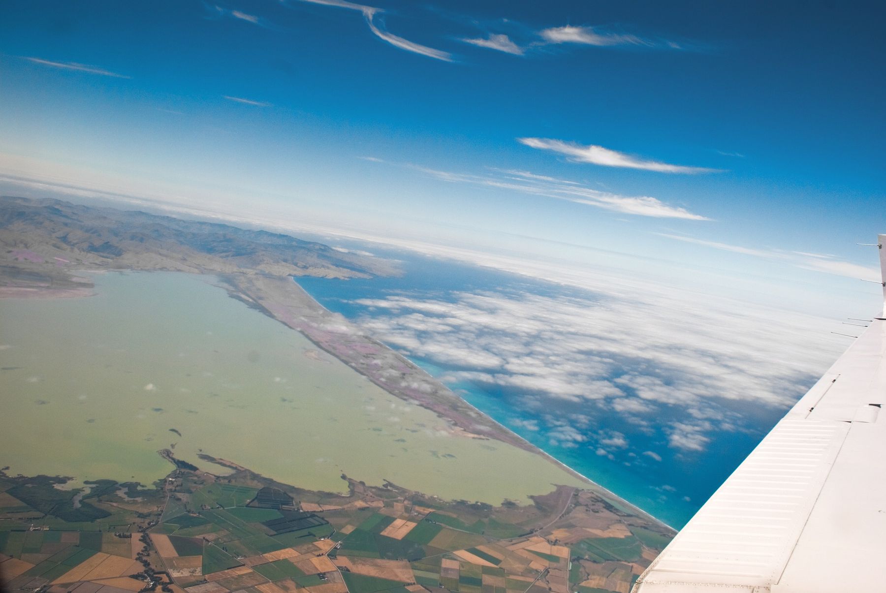
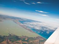
An aerial view past an aircraft wing: a broad greenish lagoon separated from the blue sea by a long thin strip of shore, farmland in the foreground.
27 Lake Ellesmere / Te Waihora. Lake Ellesmere / Te Waihora from the air, 2009, a river-mouth lagoon held behind a barrier of sediment on the Canterbury Bight. Phillip Capper · CC BY 2.0 · credit

XIII

Two meanings

On a rope, a bight is the middle: any curve or slack between the two ends. A knot tied in the bight can be made without either end.

On a coast, a bight is a long curve of shore that bends inward without closing: broad, open, and only slightly recessed.

Credits

Images and sources

Every image in this museum is stored on this site and was downloaded from Wikimedia Commons under a public-domain dedication or a Creative Commons licence that allows reuse. All images were resized; any other change is noted. The same record is available as credits.json.

  1. 1Go to plate 1

    Great Australian Bight.jpg

    Holly Randell · CC BY-SA 4.0 · Photograph · Resized.

    Source page on Wikimedia Commons

  2. 2Go to plate 2

    Ansted Sea Terms 1898 - Names of the parts of a rope.jpg

    Alexander Ansted (1814–1880) · CC BY-SA 4.0 · Illustration · Resized.

    Source page on Wikimedia Commons

  3. 3Go to plate 3

    Bight.jpg

    David J. Fred · CC BY-SA 2.5 · Photograph · Resized.

    Source page on Wikimedia Commons

  4. 4Go to plate 4

    Barb. Bucht 1.jpg

    Der Barbar · CC BY-SA 4.0 · Photograph · Resized.

    Source page on Wikimedia Commons

  5. 5Go to plate 5

    Knot-bowline bight-ABoK 1080-USCG.jpg

    USCG PTC Developer · CC BY-SA 4.0 · Photograph · Resized.

    Source page on Wikimedia Commons

  6. 6Go to plate 6

    Bowline on the Bight.jpg

    Anup Sadi · CC BY-SA 4.0 · Photograph · Resized.

    Source page on Wikimedia Commons

  7. 7Go to plate 7

    2011.10.17.152441 Nudos marineros Fragata Sarmiento Puerto Madero Buenos Aires.jpg

    Hermann Luyken · CC0 · Photograph · Resized.

    Source page on Wikimedia Commons

  8. 8Go to plate 8

    Armature.jpg

    Alain-Marchal · Public domain · Photograph · Resized.

    Source page on Wikimedia Commons

  9. 9Go to plate 9

    Adventuress - rope and rigging 07.jpg

    Joe Mabel · CC BY 3.0 · Photograph · Resized.

    Source page on Wikimedia Commons

  10. 10Go to plate 10

    Ecoutes lovées.jpg

    Remi Jouan · CC BY-SA 3.0 · Photograph · Resized.

    Source page on Wikimedia Commons

  11. 11Go to plate 11

    Black coiled mooring rope and a white.jpg

    W.carter · CC0 · Photograph · Resized.

    Source page on Wikimedia Commons

  12. 12Go to plate 12

    Cordage chantier de l'Hermione Rochefort sur Mer.jpg

    Jebulon · CC0 · Photograph · Resized.

    Source page on Wikimedia Commons

  13. 13Go to plate 13

    Bunda Cliffs, 2017 (01).jpg

    Bahnfrend · CC BY-SA 4.0 · Photograph · Resized.

    Source page on Wikimedia Commons

  14. 14Go to plate 14

    Endless Stations 174 - The Sudden End Of The Bunda Cliffs.jpg

    Ben Cordia · CC BY-SA 4.0 · Photograph · Cropped to remove a black stitching border; resized.

    Source page on Wikimedia Commons

  15. 15Go to plate 15

    Bunda Cliffs (14560382521).jpg

    Chris Fithall · CC BY 2.0 · Photograph · Resized.

    Source page on Wikimedia Commons

  16. 16Go to plate 16

    Great Australian Bight, Eyre Highway scenic lookout no. 3 - panoramic.jpg

    Chuq · CC BY-SA 4.0 · Photograph · Resized.

    Source page on Wikimedia Commons

  17. 17Go to plate 17

    Clouds along the Great Australian Bight (6883739964).jpg

    NASA Goddard Space Flight Center · Public domain · Photograph · Resized.

    Source page on Wikimedia Commons

  18. 18Go to plate 18

    PortNewYorkNewJersey.jpg

    NASA · Public domain · Photograph · Resized.

    Source page on Wikimedia Commons

  19. 19Go to plate 19

    SHIPPING TRAFFIC IN THE NEW YORK BIGHT, AN AREA OF 15,000 SQUARE MILES OF OCEAN WATERS AND THE CONTINENTAL SHELF OFF... - NARA - 555722.jpg

    Hope Alexander · Public domain · Photograph · Resized.

    Source page on Wikimedia Commons

  20. 20Go to plate 20

    ROCKAWAY BEACH, LONG ISLAND, PART OF THE HEAVILY DEVELOPED COAST BORDERING THE BIGHT. THE BIGHT INCLUDES 15,000... - NARA - 555720.jpg

    Hope Alexander · Public domain · Photograph · Resized.

    Source page on Wikimedia Commons

  21. 21Go to plate 21

    20260816.Cliffs of Heligoland.-012.jpg

    Bybbisch94 · CC BY-SA 4.0 · Photograph · Resized.

    Source page on Wikimedia Commons

  22. 22Go to plate 22

    Feuerschiff "Deutsche Bucht" in Emden (2023).jpg

    JoachimKohler-HB · CC BY-SA 4.0 · Photograph · Resized.

    Source page on Wikimedia Commons

  23. 23Go to plate 23

    A chart of the Bight of Binnin - btv1b531687948.jpg

    Unknown cartographer · Public domain · Illustration · Resized.

    Source page on Wikimedia Commons

  24. 24Go to plate 24

    Offshore thunderstorm.JPG

    Swandau · CC BY-SA 3.0 · Photograph · Resized.

    Source page on Wikimedia Commons

  25. 25Go to plate 25

    SoCal Coast.jpg

    NASA ISS Crew Earth Observations · Public domain · Photograph · Resized.

    Source page on Wikimedia Commons

  26. 26Go to plate 26

    Catalina Eddy 2013-02-17.jpg

    Jesse Allen, NASA Earth Observatory · Public domain · Photograph · Resized.

    Source page on Wikimedia Commons

  27. 27Go to plate 27

    Aerial view Lake Ellesmere 2.jpg

    Phillip Capper · CC BY 2.0 · Photograph · Resized.

    Source page on Wikimedia Commons

Text sources

Facts on the walls come from these reference articles, read in October 2026, and from the Commons description of each image.